Pix4D Processing and Map Making with Ground Control Points
The usage of ground control points (GCPs) can be extremely useful when processing data and creating orthomosaic images of an area flown for data analysis. Below I have two instances of processing using GCPs, both of the Purdue Wildlife Area (PWA), and both used for independent and various analyses.
Once in Pix4D, the GCP data collected is set into a file location, and on a spreadsheet, the various figures collected from the GCP during the flight are brought and inserted into Pix4D to begin processing.

Initial processing then is selected and let run completely. Make sure correct projection and GCP locations are used before processing is started. Processing varies in time length, but after completion a post processing evaluation should be done.
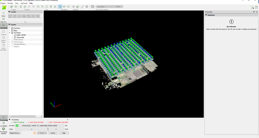
Next initial processing should be unselected and the next two steps should be run, that being point cloud mesh and lastly the creation of a DSM and orthomosaic model.
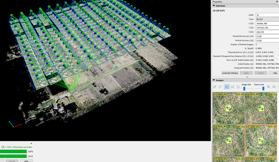
Once processing is done, locate each GCP location and make sure the location crosshairs are in the center of the GCP. For a singular point, re-center the same point at least four times.
A quality report was then run, and lastly a map in ArcGIS was made with each GCP location translated from Pix4D, and with a zoomed in detailed-inset of each GCP location.

Above is a map with GCP information, actual collected points, and Esri Field Maps collected points. Esri Field Maps is a useful app that allows people to quickly mark and map GCP locations prior to a flight and aids in the data collection process.

Weeks later, when flying an independent mission at PWA, GCPs were captured and set into a map for visualization. This mission only utilized five GCPs, and instead of an expanded view of each point, photos taken on the ground prior to the mission were captured for each location.


Comments
Post a Comment